
Sahara
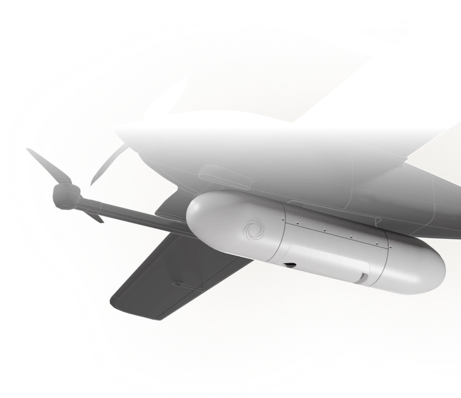
Payload
SYNTHETIC APERTURE RADAR IMAGERY ON DEMAND
Sahara is an autonomous UAS-borne SAR payload designed for situational awareness on and off the battlefield. It detects man-made assets, performs terrain segmentation, and supports maritime surveillance. The system delivers reliable intelligence across all weather, light, and environmental conditions, ensuring persistent visibility when conventional optical sensors are limited.
- 01
Area Surveillance
Sahara deploys and begins autonomous wide area scanning, generating high resolution SAR imagery across the operational environment. The system continuously monitors terrain, movement patterns, and areas of interest to support mission awareness.
- 02
Change Detection
As new radar passes are collected, Sahara autonomously compares imagery over time to identify changes across the environment. The system detects terrain modifications, movement patterns, vehicle movement, infrastructure activity, and other anomalies that may indicate evolving threats or operational shifts.
- 03
Intelligence Delivery

Sahara processes SAR data onboard and delivers actionable intelligence to operators and command systems in real time. Onboard processing accelerates activities like terrain analysis, object detection, and mission relevant insights to support faster operational decision making.


- Frequency RangeL - SPolarisationDual LinearSpatial Resolution0.25 m at 2 km 1.2 m at 10 kmSize15 x 72.3 x 15 cm 5.9 x 28.5 x 5.9 inWeight< 3.5 kg | 8 lbsPower Consumption< 65 W
- Operational ReadinessRapid deployment All-weather, all time operationTactical ISRLong-range wide area detection Manufactured object detection Under-camouflage detection Maritime surveillanceOperating ModesStripmap, circularAmplitude change detection (ACD) Multi-temporal coherence (MTC) Coherent change detection (CCD)
To discuss capabilities, partnerships, or specific mission requirements, please contact our team.
All enquiries are handled with the highest level of discretion and priority.